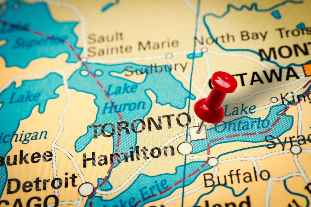
Who doesn’t love a good map? Maps are so much more than just a nice-looking view of an area. They can be highly useful as a way to effectively display data about an area in a way that is immediately readable. In real estate, maps are crucial for all sorts of tasks like title searches, zoning, land surveys, and more.
In a city like Toronto, there is so much different variety between areas and one of the best ways to view these differences is through mapping. For investors, these maps present a quick and easy way to learn about areas in the city and compare them to one another. For example, if you are looking at an area to buy in, these maps could give you a better idea of the nearby area in detail and in less time than going for a walk around on the street. Let’s take a look!
Neighbourhoods map
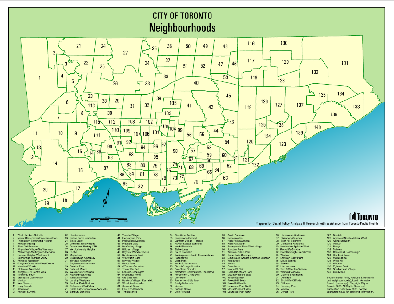
This map gives you an idea of the many different neighbourhoods in Toronto today. From downtown Toronto to the edges of the city, each of Toronto’s 140 neighbourhoods has its own unique history and community. Learn more about each of Toronto’s neighbourhoods on the city’s website, or read our list of top neighbourhoods here.
Toronto city zoning map
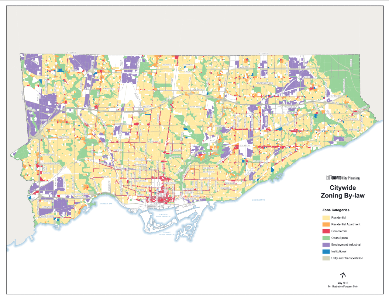
This detailed map shows the various different zones in the city of Toronto. It can be pretty surprising to see just how much of the city mixes commercial, residential, industrial, and open space, and how some areas are distinctly reserved for one or two zoning types.
Crime maps
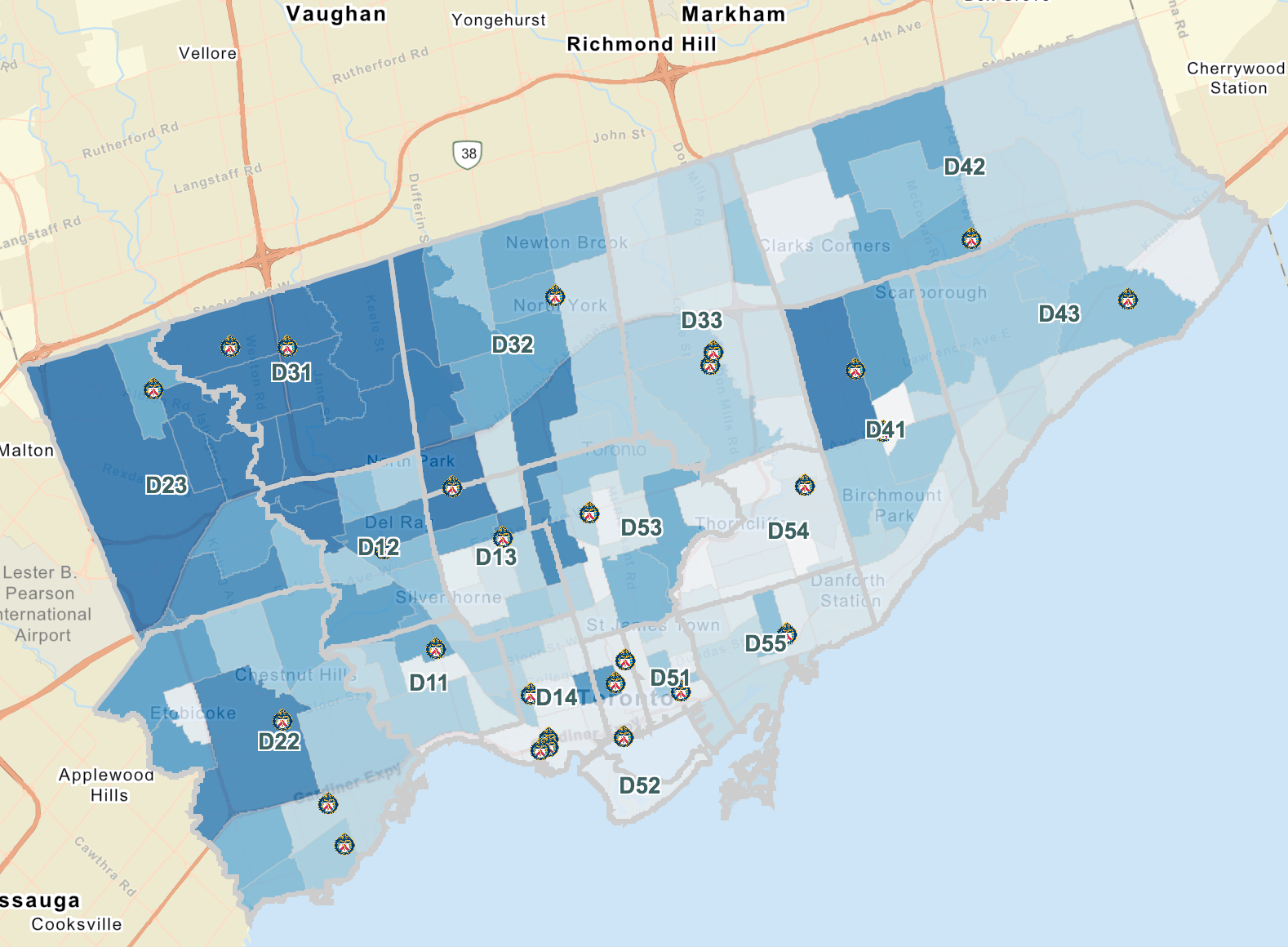
You might be wondering what crime has to do with real estate? Well, if you are looking to invest in a property, especially if you plan on renting out that property, crime rates can affect how desirable the neighbourhood is, and therefore how your investment may perform and how much rent you can collect. The Toronto police provide multiple interactive maps to keep you informed on where certain crimes are statistically more common and which areas are the safest of all.
Toronto transit maps
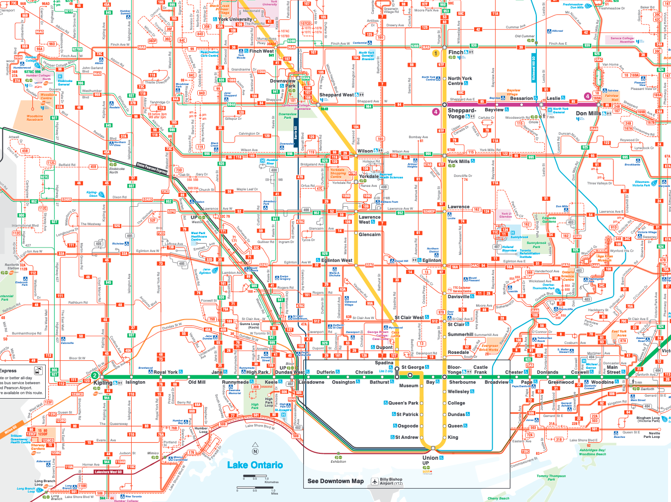
One of the biggest considerations for people looking to rent in the city is how they are going to get around. For many, public transit is the way they get around every day and is well connected to the rest of the city can save time and headaches. This Toronto map shows all the different subway, streetcar, and bus routes in the city. It’s amazing how connected we are!
Parks and trails
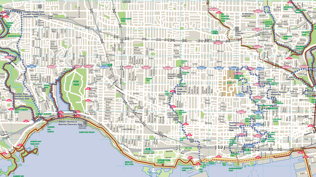
If you are looking to escape from the concrete and noise of the city, there are many public parks and trails that residents can enjoy – more than you might expect. The trick is in finding these areas. This handy map can help you find some greenspaces near you for when you need to get away close to home.
And many more
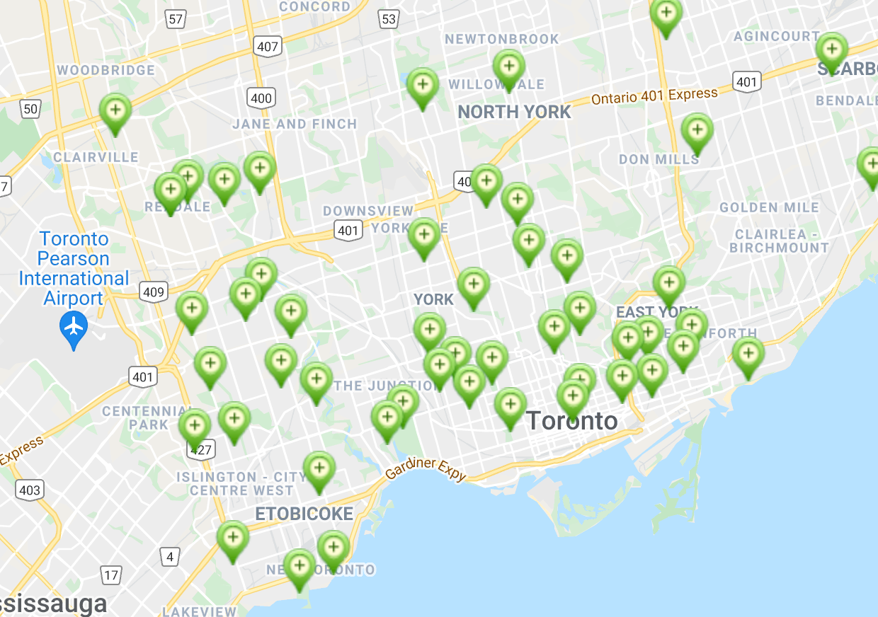
On the city of Toronto maps page and the open data directory, you can find many more maps for everything from tourist attractions to outdoor ice rinks (see above). This site is definitely a must-see for a map-loving Torontonian – though some maps may be more useful than others.


")
 Maziar Moini, Broker of Record - Home Leader Realty Inc.
300 Richmond St. W., #300, Toronto, ON M5V-1X2
Maziar Moini, Broker of Record - Home Leader Realty Inc.
300 Richmond St. W., #300, Toronto, ON M5V-1X2